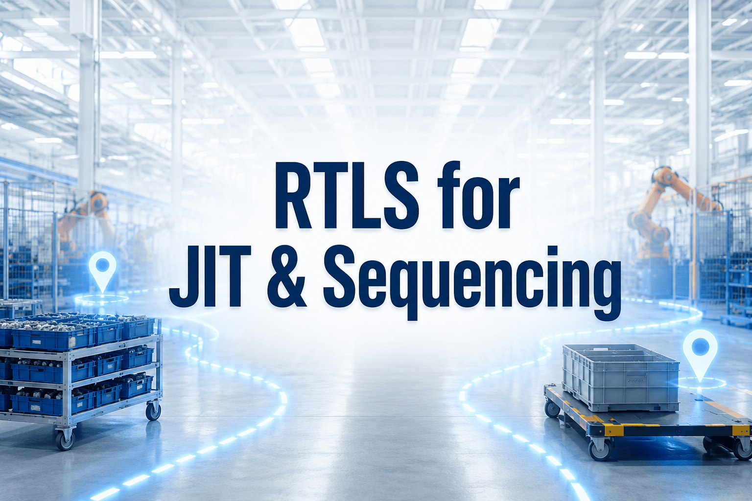
Pozyx Platform v3.1: slimmer volgen, sterker inzicht, meer flexibiliteit

Met de release van Pozyx Platform v3.1 zetten we opnieuw een stap richting eenvoudiger, krachtiger en toegankelijker asset tracking, of je nu binnen, buiten of ergens daartussen werkt.
Deze update richt zich op het halen van meer waarde uit je data, het uitbreiden van trackingmogelijkheden en het verfijnen van de ervaring binnen het platform.
BLE-assettracking met scanning (nieuw)
Een van de grootste toevoegingen in v3.1 is BLE-assettracking met scanning.
GPS-trackers kunnen nu nabijgelegen BLE-tags detecteren, wat een kostenefficiënte en flexibele manier biedt om tools en assets te volgen zonder een volledige infrastructuuropzet.
Dit maakt het mogelijk om:
- Tools onderweg te volgen met behulp van een vrachtwagen uitgerust met een BLE-scanner
- Aanwezigheidsdetectie in magazijnen of faciliteiten
- Assetzichtbaarheid in omgevingen met weinig infrastructuur
In veel gevallen is één draadloze BLE-scanner op batterijen voldoende om te starten, waardoor dit een zeer schaalbare oplossing is voor gedistribueerde operaties.
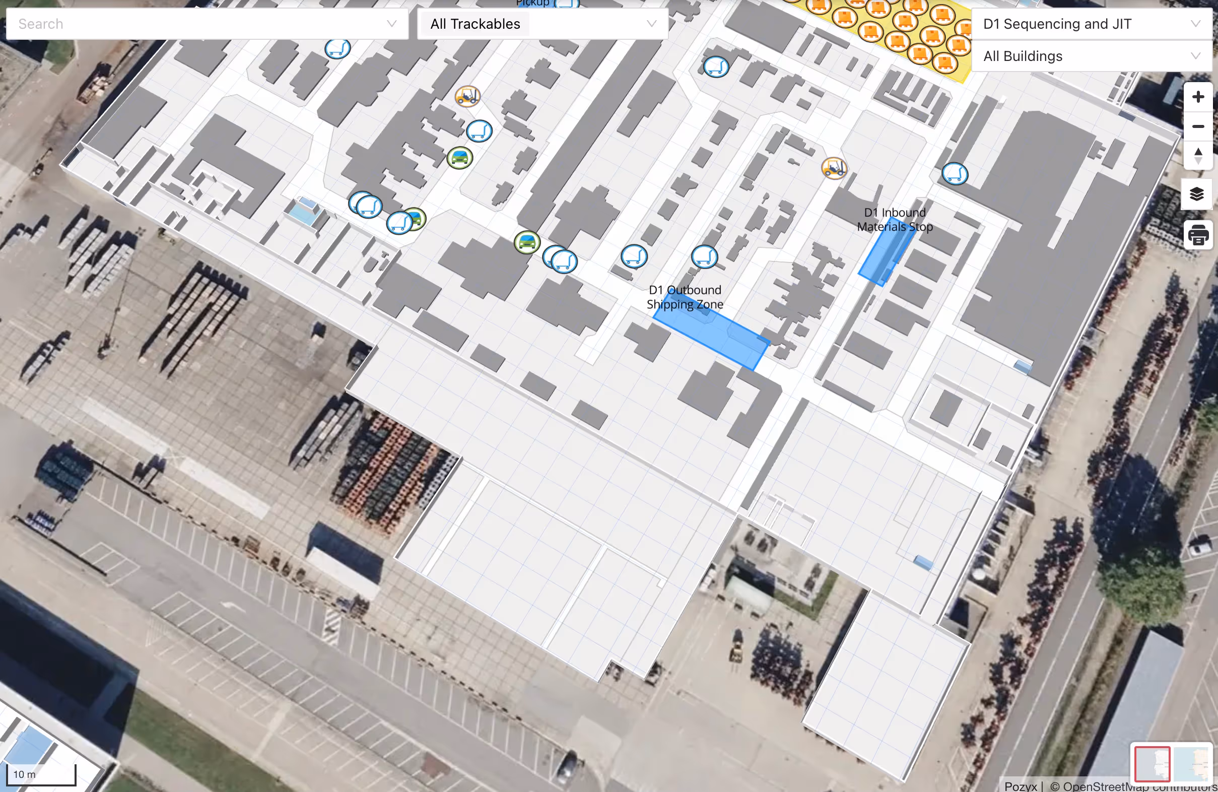
Een krachtigere kaartbeleving
We hebben het kaartoverzicht volledig herwerkt om je sneller meer context te geven.
In plaats van alleen locaties te tonen, benadrukt de kaart nu wat echt belangrijk is voor je dagelijkse operaties:
- Trackables die aandacht vereisen
- Details van geofences
- Actieve ritten of jobs
- Historische beweging
Hoewel de onderliggende data niet is veranderd, is de manier waarop die wordt gepresenteerd dat wel. Het resultaat is een actievere, intuïtievere en impactvollere interface die teams helpt sneller beslissingen te nemen.
Sterkere GPS-tracking voor buitenoperaties
Platform v3.1 versterkt onze ondersteuning voor GPS-gebaseerde asset- en inventaristracking in buiten- en afgelegen omgevingen.
Perfect voor:
- Bedrijfsterreinen en industriële sites
- Afgelegen of tijdelijke locaties
- Buitenopslag en logistieke hubs
Belangrijke verbeteringen:
- Verbeterde compatibiliteit met Digital Matter GPS-trackers
- Betrouwbaardere gegevensverwerking en soepelere onboarding
- Satellietbasemap voor betere zichtbaarheid buiten
- Adreszoekfunctie en leesbare locaties in plaats van ruwe coördinaten
Voor omgevingen waar satellietbeelden tekortschieten, kun je nu ook drones- of luchtbeelden integreren, ideaal voor:
- Bouwplaatsen
- Overslagterreinen
- Grote industriële faciliteiten
Meer informatie over de nieuwe kaartmogelijkheden vind je hier.
Kleine maar krachtige verbeteringen 💪
We hebben ook een reeks gerichte upgrades doorgevoerd binnen het platform:
- Verbeterd dashboard voor proceszichtbaarheid, inclusief inzichten in tijd per stap
- Doorlopende verbeteringen aan de publieke API
- Nauwkeurigere dwell time-detectie voor GPS en UWB
- Prestatieverbeteringen voor ritten en jobs
- Algemene bugfixes en stabiliteitsverbeteringen
Gebouwd voor operaties in de echte wereld
Met v3.1 blijft Pozyx de kloof tussen indoor- en outdoortracking overbruggen, terwijl krachtige mogelijkheden eenvoudiger te implementeren en te gebruiken zijn.
Of je nu tools onderweg volgt, assets bewaakt op afgelegen locaties of workflows op locatie optimaliseert, deze release geeft je meer flexibiliteit, beter inzicht en snellere analyses.
Geschreven door
Samuel Van de Velde

CTO en medeoprichter van Pozyx
Samuel is Burgerlijk ingenieur met een sterke interesse in locatietechnologie. Bekwaam in ondernemerschap, publiek spreken, productbeheer, internet der dingen (IoT) en machine learning. Na zijn afstuderen aan de UGent in 2010 ging hij aan de slag bij de afdeling Telecommunicatie en Digitale Informatieverwerking (TELIN) om een doctoraat te behalen op het gebied van collaboratieve localisatie binnenshuis. In 2015 richtte hij op basis van dat onderzoek het spin-offbedrijf Pozyx op.