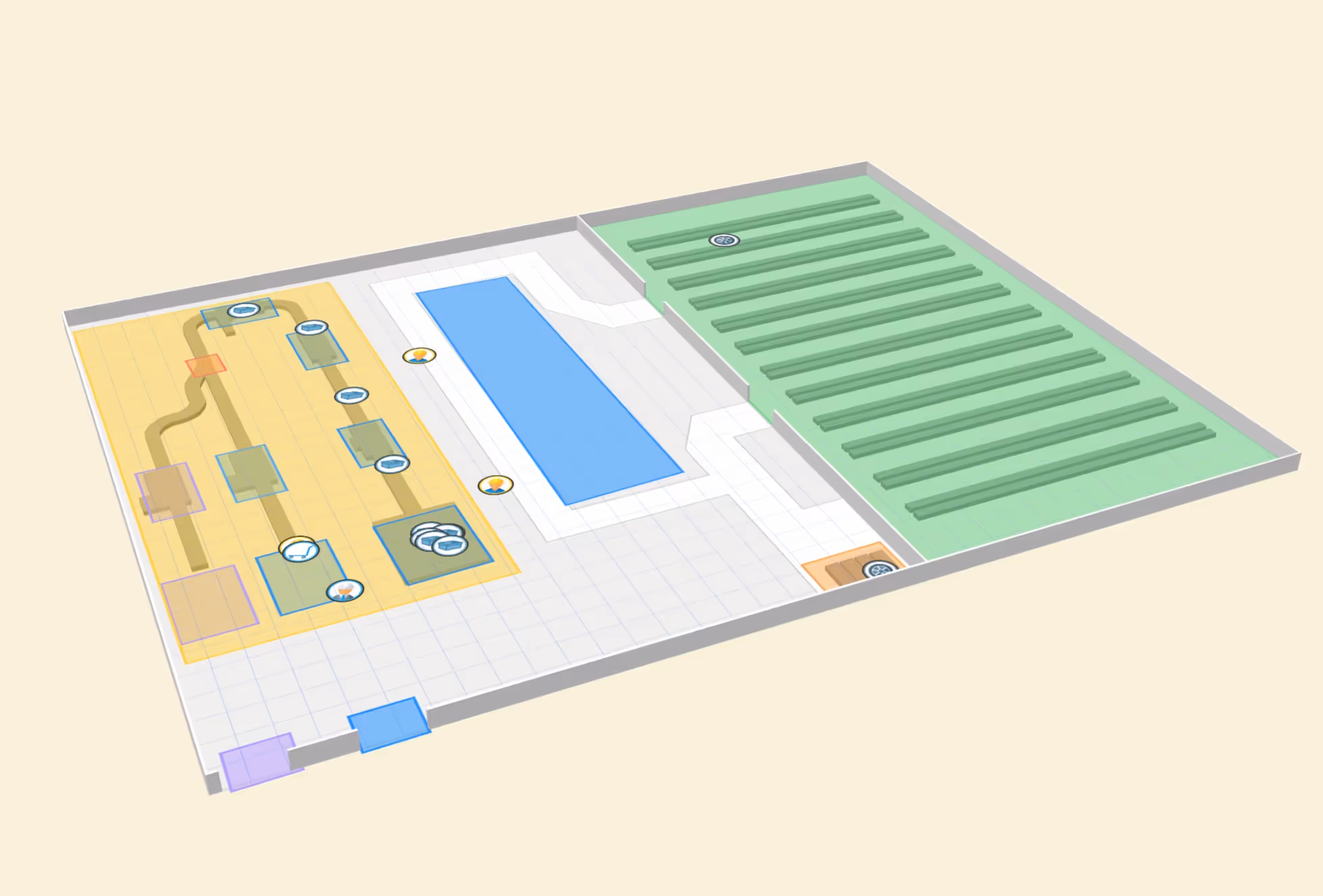
Industry · Defense & Aerospace

Real-Time Location Intelligence for Defense & Aerospace

Pozyx RTLS helps DoD suppliers, aerospace OEMs, MRO depots, and secure industrial sites see the live location and movement of tools, WIP, kits, GSE, vehicles, personnel, government property, controlled assets, and work packages across GPS-denied and outdoor environments.

Trusted by
Pozyx in defense industry
10-30cm
UWB precision for hangars, shops, tool rooms, and assembly zones
FOD+
Location context for tool control and foreign object risk reduction workflows
GFP+
Identified manufacturing use cases
24mo
Typical full ROI payback period
* Performance improvements are based on specific customer implementations and may vary by application.
What to track

Track the assets that drive readiness, compliance, delivery, and utilization

Defense and aerospace operations depend on scarce tools, controlled assets, serialized parts, GSE, people, and secure zones. Pozyx adds live location context where manual logs, badge events, and barcode scans leave blind spots.

WIP Tracking case study

Aircraft Bays, Hangars & Depot Work Orders

Track job cards, travelers, repair orders, nonconformance packets, and work packages by hangar bay, depot cell, inspection gate, queue, and workstation to expose delays across complex MRO flows.

UWB TrackersBLE Sensors

Special Tooling, GSE & Maintenance Stands

Locate engine stands, access platforms, docking systems, jigs, dollies, tow bars, GPUs, hydraulic carts, nitrogen carts, and other scarce support assets before they delay a work package or sortie prep.

UWB TrackersBLE SensorsGPS

Mission Kits, Cases & Transport Containers

Track deployable kits, hardened cases, mission containers, flight-line carts, transport racks, and packaged equipment across storage, staging, inspection, and release areas.

UWB TrackersBLE Tags

Technicians, Inspectors, Contractors & Visitors

Support mustering, no-go-zone awareness, lone-worker visibility, contractor zone access, visitor oversight, and incident review with wearables that add operational context without replacing access-control systems.

UWB WearablesWristband · Lanyard · Clip

Toolboxes, Torque Tools & FOD-Critical Items

Tag individual high-risk tools, shadow-board tools, work lights, borescopes, laptops, tool carts, and kits. Verify that no tagged item remains in an aircraft bay, engine shop, test cell, or secure work area before release.

UWB / BLE TrackersUWB Labels

Government Property & Customer-Owned Assets

Add live location context for GFP/GFE, special test equipment, customer-furnished kits, controlled assets, and serialized property so floor checks, audits, and program reviews do not depend on manual searches.

UWB / BLEGPS + BLE

Flight-Line, Yard & Base Logistics Assets

Track tow tractors, service vehicles, cargo dollies, containers, mobile power, mission equipment, ground carts, and outdoor staging assets across yards, aprons, depots, and hangar entrances.

UWB TagsGPS + BLE

Test, Calibration & NDT Equipment

Locate avionics test sets, NDI/NDT devices, RF testers, probes, metrology carts, calibration standards, inspection kits, and mobile lab assets. Know availability, last known location, and usage zone.

UWB TagsZone Alerts

LRUs, Rotables & Serialized Component Kits

Track avionics boxes, actuators, pumps, engine modules, landing gear parts, repair kits, and rotable assets through receiving, inspection, quarantine, repair, test, kitting, and release.

UWB TrackersBLE Sensors
Why Pozyx

Where Pozyx makes the difference in Defense & Aerospace

Defense and aerospace sites do not just need asset tracking. They need a location layer that can support tool control, secure workflows, supplier accountability, and readiness across complex indoor and outdoor facilities.

GPS-denied operations

Precise indoor visibility where GPS cannot help

Use UWB inside hangars, depots, labs, shops, warehouses, and aircraft bays where GPS is unavailable and BLE or Wi-Fi is too coarse for critical workflows.

FOD and tool control

Location context for every tool and work zone

Track special tools, tool carts, calibrated instruments, and mobile kits to support pre-release checks, missing-tool searches, custody trails, and controlled-zone alerts.

DoD supplier visibility

Operational context without replacing core systems

Add live location context around government property, special tooling, serialized kits, customer-owned assets, and contract-specific materials without replacing ERP or quality systems.

Readiness and utilization

Shared resources are visible before they delay work

Track GSE, maintenance platforms, engine stands, forklifts, tuggers, AGVs, containers, and test equipment so readiness is not delayed by missing resources.

Applications

Five outcomes for
higher readiness and control

The strongest defense and aerospace RTLS business cases combine immediate search value with longer-term traceability, safety, and operations intelligence.

Tool accountability and FOD risk reduction

Know where every critical tool is before it delays release.

Track tools, carts, gauges, fixtures, and special tooling across hangars, aircraft bays, tool rooms, and production cells.

  • Locate missing tools and carts quickly
  • Alert when tools leave approved zones
  • View tool movement history by time and area
  • Support pre-release and zone-clearance workflows
Book a demo
Production, repair and depot visibility

Keep complex programs moving through the right zones.

Track work orders, kits, assemblies, repairs, and serialized assets across fabrication, inspection, test, storage, and rework.

  • Live WIP map by program, zone, and work center
  • Dwell time in inspection, hold, test, and rework
  • Priority kit and part search for schedule recovery
  • Cycle-time evidence for program reviews
Book a demo
Readiness and utilization

Reduce delays caused by missing ground support and mobile resources.

Find and analyze vehicles, tow tractors, platforms, forklifts, engine stands, test sets, and shared equipment across indoor and outdoor areas.

  • Search and find GSE and support equipment
  • Utilization dashboards by zone and shift
  • GPS plus indoor tracking for yard-to-hangar flows
  • Heatmaps for congestion and staging improvements
Book a demo
Geofenced operations

Make restricted, hazardous, and controlled areas location-aware.

Use geofences and role-based alerts to monitor people, tools, vehicles, kits, and controlled assets entering or leaving sensitive zones.

  • Restricted-zone alerts for personnel and assets
  • Visitor and contractor visibility by area
  • Mustering and safety response support
  • Historical records for investigations
Book a demo
Location-backed records

Add physical movement evidence to supplier and quality workflows.

Pozyx does not replace ERP, MES, QMS, or property systems, but it gives those processes a live location layer and movement history.

  • Movement trails for government property and controlled assets
  • Zone event logs for quality and security reviews
  • Integration-ready data for existing systems
  • Digital twin visibility across facilities and asset types
Book a demo
Positive impact

Positive impact for suppliers, depots, and aerospace operations

RTLS helps teams reduce avoidable search, delays, manual follow-up, and uncertainty while creating live operational data for readiness and compliance conversations.

Find

Tool & Asset Recovery

Live maps and last-known locations help teams find tools, GSE, kits, and controlled assets faster during production, repair, and release workflows.

Flow

Program Flow Visibility

WIP, dwell, and queue data reveal where assemblies, repairs, and kits wait so teams can act before schedule risk escalates.

Use

GSE Utilization

Track ground support, vehicles, stands, platforms, and shared equipment across indoor and outdoor zones to reduce idle time and duplication.

Audit

Audit Context

Automated movement history adds location evidence to government property, quality, tool control, security, and supplier performance workflows.

Phase 1

Select the operational pain. Begin with tool control, GSE search, WIP visibility, government property location, secure-zone alerts, or a single depot or hangar workflow.

Phase 2

Map assets and zones. Define tool rooms, bays, restricted zones, staging, inspection, test, stores, yards, and role-based access to location data.

Phase 3

Automate alerts and workflows. Configure search, geofences, dwell alerts, mustering, dispatch views, reports, and selected integrations with operational systems.

Scale

Expand by asset class and site. Extend to more tools, kits, vehicles, GSE, yards, warehouses, depots, production cells, and supplier flows.

Pain points to solve

Defense and aerospace pain points Pozyx turns into operational control

The value is strongest where missing assets, slow searches, restricted zones, manual records, and poor utilization directly affect readiness, quality, or contract performance.

Tool Control
Aerospace & MRO

Missing tools delay aircraft, inspection, and release workflows

RTLS gives teams live location, last-known position, zone alerts, and movement history for special tooling, calibrated instruments, tool carts, work lights, and mobile kits.

FindSearch and find for tools, carts, and fixtures
AlertWrong-zone or dwell-time alerts for sensitive areas
Discuss this use case →
Program Flow
DoD Suppliers

High-value work waits in queues that are hard to see

Track work orders, kits, serialized assets, assemblies, inspection holds, and rework through complex production and depot processes.

MapLive location by program, zone, and work center
DwellTime in queue, hold, inspection, test, or rework
RecoverPriority kit and part search for schedule recovery
Discuss this use case →
GSE & Readiness
Depot logistics

Support assets are visible before they block readiness

Ground support equipment, maintenance stands, tow assets, and mobile test equipment can delay a work package when teams cannot find them fast. Pozyx gives readiness teams live location, dwell, and availability context across hangars and outdoor staging areas.

GSELive support-equipment location across hangars and yards
ReadyAvailability context for work packages and sortie prep
UseDwell and utilization context for shared assets
Discuss this use case →
Technology foundation

The right technology for every zone

Pozyx combines UWB, BLE, GPS, geofencing, digital twin configuration, dashboards, analytics, alerts, and integrations so defense and aerospace teams can match the right tracking precision to the operational risk.

Pozyx indoor and outdoor tracking
UWB
10-30 cm
High Precision Zones
Ultra-Wideband (UWB)
Use UWB in hangars, aircraft bays, tool rooms, secure shops, assembly cells, inspection zones, and MRO areas where precise indoor location drives tool control and WIP visibility.
BLE
~ 5 m
Coverage Areas
Bluetooth LE (BLE)
Use BLE for cost-effective presence tracking in stores, staging areas, container zones, warehouses, lower-risk assets, and large covered areas.
GPS
Seamless
Outdoor & Yard
GPS Hybrid
Extend visibility to yards, flight lines, compounds, remote sites, inter-building moves, transport assets, and outdoor GSE in one platform.
See our system
in action
Schedule a demo and see how Pozyx can support tool control, FOD risk reduction workflows, WIP visibility, government property location context, GSE utilization, secure-zone alerts, and indoor/outdoor asset tracking.
Schedule a demo