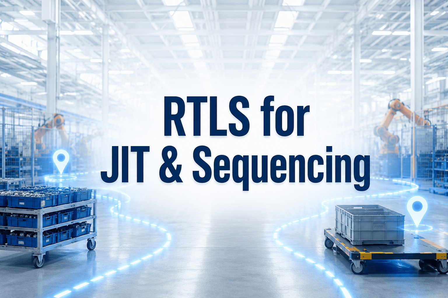
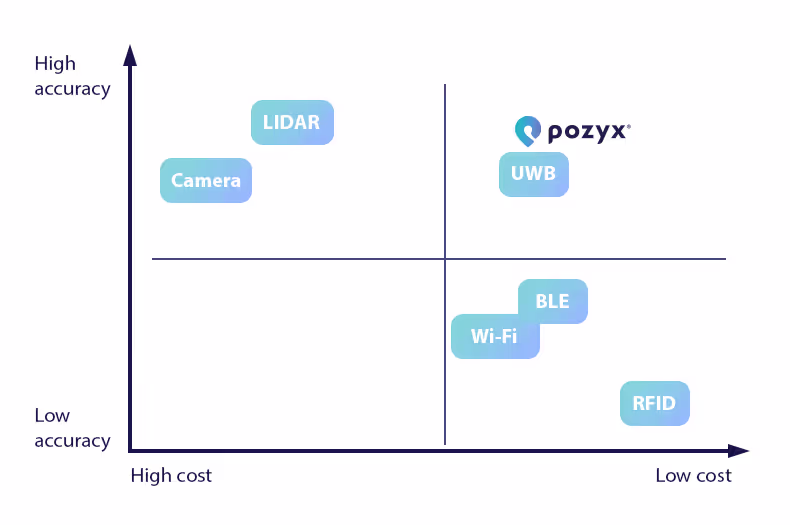
UWB versus other tracking technologies in 2026

Choosing the right indoor tracking technology for your business is fundamental to successful results. Each tracking technology has its own pros and cons. This blog compares Pozyx’s ultra-wideband (UWB) technology to other tracking technologies, so you can make the right choice for your business. Ultra-wideband is an ultra-accurate and cost-effective location solution for indoor tracking.
Please note that we did not include every possible tracking technology in this overview. Some notable other technologies are 5G positioning, visual light positioning or ultrasound positioning. These technologies are omitted because they remain niche to this date, either because they are still in active research phase or the market penetration is very low.
UWB versus GPS
GPS (or more general GNSS) is a well-known tracking technology and is used daily by millions of people. Standard GPS tracking can offer positioning around 10m of accuracy in most outdoor regions around the globe. Its most significant disadvantage is that it does not work indoors, or in so-called urban canyons (cities with high buildings). For asset tracking, GPS trackers always require some communications link to send the location fix on the device to some asset tracking software. Typically connectivity is provided by the cellular network like 2G, 4G or 5G, or some long range wireless network like LoRaWAN. All of which requires some kind of monthly connectivity fee. Today, GPS/GNSS receivers are still relatively power hungry, so unless the GPS tracker can be powered, the amount of GPS updates per day is limited to a few updates per day or per hour.
Ultra-wideband technology on the other hand is made for indoor tracking and does not encounter the same challenges as GPS indoors. It boasts an accuracy of 10-30cm, does not require paid connectivity and can last for over 5 years on a single battery with updates every few seconds. The downside to UWB tracking is that does require an infrastructure to be installed on-site.
UWB location data can also be combined with GPS location data in the Pozyx Platform. The platform is compatible with GPS conform the omlox standard, and thus able to combine the Pozyx ultra-wideband signals with GPS signals. This way, tracking assets from indoor to outdoor and the other way around with a seamless transition has never been easier.
UWB versus RFID
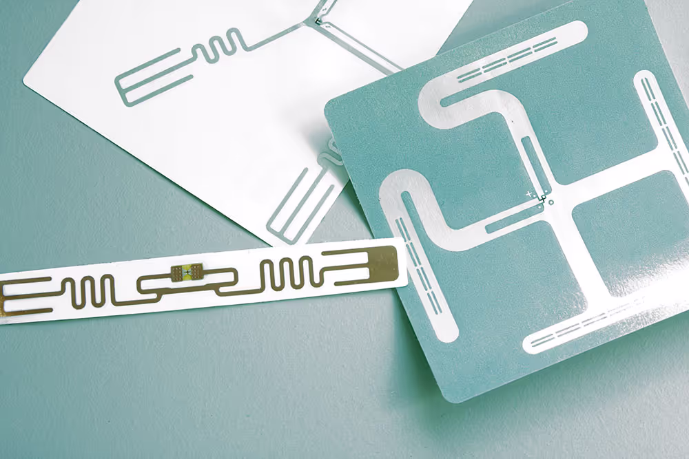
RFID, or Radio Frequency Identification, uses radio waves to wirelessly send or receive information. The system uses labels with unique information that are attached to a person or object. With RFID it is important to distinguish active from passive RFID, as the two work differently.
UWB versus Passive RFID
With passive RFID, the tag has to pass a gateway reader before it gets positioned. There is no real-time positioning. These tags are cheap, as low as cents, as they don’t have their own energy source and only activate when they receive a radio signal from the antenna.
A well-known everyday application of RFID is NFC, a subset of RFID that works at a higher frequency. It is used for example in the access doors on metro stations, where you have to scan your card with an NFC chip on the NFC reader to make the doors open. Other uses are RFID tags in clothing or other retail products.
When it comes to finding assets, passive RFID is ill-suited. Not only does passive RFID have a 3% error margin, but also if an asset is lost, it mostly would not have passed the gateway, meaning it did not activate and also did not send out any location information. The error really margin becomes problematic for tracking assets with metal, as this significantly impacts the readability of an RFID tag. With ultra-wideband, the tags are transmitting information at a higher frequency and are being positioned in real-time, making your assets visible all the time, in the entire building.
In our Bonduelle case study, it becomes clear that ultra-wideband and passive RFID can work together seamlessly. While Bonduelle already used RFID to keep track of their pallets, they still misplaced and lost countless pallets per year. By installing the Pozyx system and attaching the industrial tags to their forklifts, they knew which assets were picked up and dropped off at what points, resulting in a 3% efficiency gain.
UWB versus Active RFID
In active RFID systems, the labels have their own power source which permits the label to transmit data continuously, making real-time positioning possible. It gets up to 3 meters (or 10 feet) precise, whereas ultra-wideband technology has an accuracy of 10-30 cm (4-12 inches). An enormous difference. Furthermore, active RFID has a failure rate between 5% and 20%. Considering these challenges, and the higher cost of active RFID, ultra-wideband is the better option here, both performance and cost-effective wise.
Discover the Pozyx Platform
The Pozyx Platform brings indoor and outdoor positioning data together to provide full asset visibility, automation and location-based insights for logistics and manufacturing.
Pozyx PlatformUWB versus BLE
Bluetooth is a highly adopted communication technology and is used in everyday life for numerous wireless devices. Headphones, wireless mouses, keyboards, and speakers all use Bluetooth to connect to our smartphones and laptops.
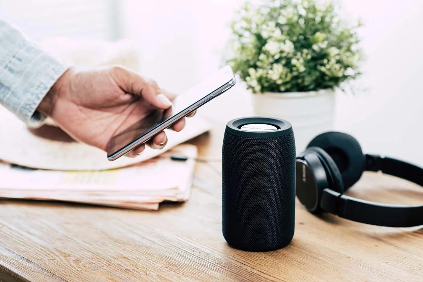
Bluetooth Low Energy, or BLE, was introduced in 2010. It uses the same technology as regular Bluetooth but, as the name suggests, uses significantly less energy to communicate with other devices. Its most common uses reside in smart devices, asset tracking, and indoor positioning.
BLE was not initially designed for indoor tracking and is more of a by-product of the technology. It works by calculating the position of the BLE tag through the signal strength received by multiple beacons. This is called RSSI (receive signal strength indicator) and is not the most efficient measurement tool. BLE tracking has an accuracy of around 5 meters and is only 90% of the time effective, whereas ultra-wideband technology can reach a positioning of 10 to 30 cm accuracy. This is because the ultra-wideband system does not measure the position through signal strength but through Time of Flight (ToF). It calculates the time it takes for the radio wave to travel between the tag and the anchor. The Pozyx system calculates this for at least three anchors and positions the tag at the intersection of the three distances, this is called trilateration.
In terms of battery life of tags, BLE and UWB are relatively comparable, both able to last several years on a single battery sending out location updates every few seconds. In terms of cost, UWB tags are around double the cost of BLE tags.
As of 2019, the BLE 5.1 standard also supports so-called angle-of-arrival which improves the positioning accuracy to sub 1 meter. This, however, does not work with standard BLE tags and requires more dense and complex infrastructure able to measure the angle.
Based on the cost and the required accuracy both BLE and UWB can be a good option for indoor tracking. In general, UWB is considered the golden standard and is recommended for industrial environments. Alternatively, in office, school or hospital environments BLE is often a suitable technology. With the Pozyx RTLS, you don't have to choose, the infrastructure can support both BLE and UWB tags, allowing you to pick the most suitable tag based on the the cost and accuracy need.
UWB versus camera-based tracking
Camera-based positioning has become more viable due to the rise of AI-powered image processing. Two distinct approaches for positioning are described below. However, both have in common that it still requires heavy processing resulting in high power consumption and the use of (expensive) processing units.
Camera infrastructure
In one approach, a fixed camera infrastructure consisting of multiple cameras in multiple rooms is used to track people, vehicles or other assets within view. With an AI model that is trained to specifically detect these objects it is possible to locate these objects in real-time. One challenge with camera-based tracking is the ability to identify the tracked object. Tracking cows, racks, or boxes that all look alike is possible, but it’s very hard to say which one is where. This issue is even more challenging when objects are moving from one camera to the next. Somehow the camera system must identify the object and know it’s the same moving from one area to the next. In practice these systems cannot do this without error. Furthermore, situations with objects that are deformed, (partially) hidden or badly illuminated can result in tracking errors or even the inability to even track the object at all.
These challenges, together with potential privacy concerns make camera tracking less suitable for most asset tracking applications. Alternatively, with UWB, each asset has a unique tracker with a unique identifier which resolves the association problem. The reliability of UWB tracking is significantly better than a camera based system. The disadvantage is of course that each object you want to track, requires a tracker.
Cameras trackers
In another approach the camera is attached to the asset that needs to be tracked. Similarly to how people use their eyes to find out where they are, so does this system work. However, to make it a little bit easier for the camera tracking system, some visual landmarks are typically added to the environment. This could be paintings on the floor or ceiling or QR-code stickers on fixed locations.
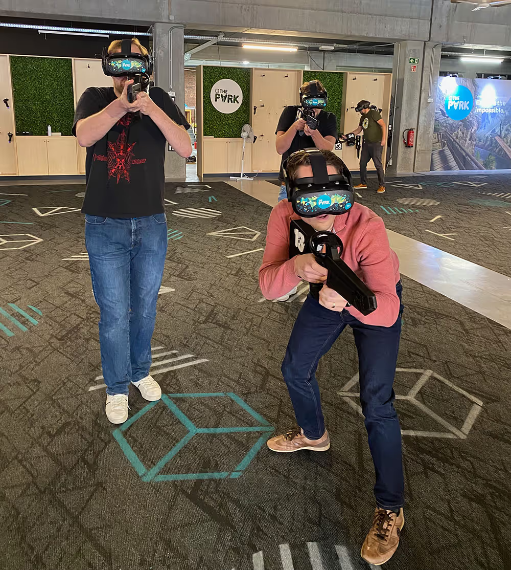
This approach can provide good positioning results with accuracies of 10 to 30cm. However, due to the size and power constraint of this, it is mostly limited to vehicles, robots and certain VR-headsets. In comparison, a camera tracking system is significantly more expensive than a cheap UWB tag. However, it does not require any infrastructure. With ultra-wideband tracking, an upfront investment is required for setting up the UWB infrastructure to start tracking. With this infrastructure in place, the price per additional UWB tag is negligible. In contrast, with camera based tracking, the upfront cost is limited, but the price will go up significantly with a higher number of objects to track. Depending on the area that needs to be covered, the tipping point can already happen at a few assets to track, or several tens of assets. Generally, if you want to track more than 50+ assets, UWB positioning will always be more cost-effective.
UWB versus Wi-Fi Positioning Systems (WPS)
Wi-Fi has, since its first release, become one of the most important communication technologies in the world. A few years after its first release, it became one of the first technologies used for indoor positioning. Wi-Fi is still an effective technology for indoor positioning today, but its suboptimal accuracy makes UWB tracking more suited for precise localization.
Wi-Fi indoor positioning either uses the existing infrastructure or custom-installed sensors. Both have a typical accuracy of 5-15 meters, as opposed to the 10-30 cm that can be achieved with ultra-wideband technology.
Initially, WiFi positioning was primarily used to ‘roughly’ track WiFi devices such as laptops and smartphones in a building. Recently, however, battery-powered wifi trackers are becoming increasingly popular as they are being used in combination with GPS/GNSS. These trackers scan for WiFi access points, send this information back to the cloud (over 4G or 5G) where a global database of WiFi access point locations is consulted. These databases are collected by big tech companies like Google which crowdsource this data through Google Maps. The accuracy of this is generally limited to several tens of meters, however, it has the advantage that it can provide rough indoor localization as a fallback to GPS.
For completeness, it can be noted that WiFi added functionality back in 2016 to allow for more accuracy range-based positioning. This amendment to the base WiFi standard (under IEEE 802.11mc) could allow for 1-2m accurate positioning. However, to date, the adoption rate of access point vendors or device manufacturers is still extremely limited which does not (yet?) make this technology viable.
UWB versus LIDAR
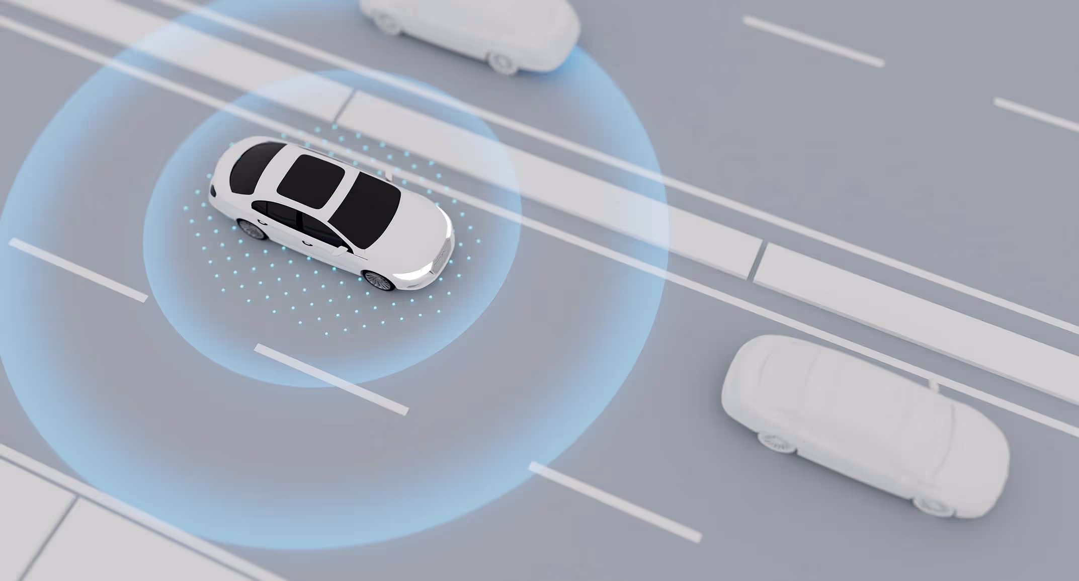
LIDAR, or Light Detection And Ranging, works with a rotating laser to accurately measure the range and angle to obstacles. Its most used application is on self-driving cars. In an industrial environment it is also used for automated mobile robots (AMR) that need to navigate autonomously without hitting obstacles. Due to its nature, LIDAR is not suitable for non-powered asset tracking or people tracking.
LIDAR by itself cannot provide (absolute) positioning, rather, it can help to understand if there are obstacles around the sensor. In certain circumstances, when a detailed map of the environment is available, the location can be obtained by matching certain static features or obstacles between the LIDAR output and the map. In scenarios with lots of moving objects, open spaces or spaces with repeating patterns (like a warehouse with identical aisles) it is not possible to position with LIDAR in this way alone. Typically, LIDAR is used in combination with some other location technology (such as UWB) for absolute positioning. Because of the accuracy of LIDAR, it is then possible to improve positioning to millimeter precision.
Conclusion
While there are many indoor tracking technologies, ultra-wideband technology is in most cases the go-to method for accurate real-time positioning in industry 4.0. In this table, the previously discussed points are summarized.
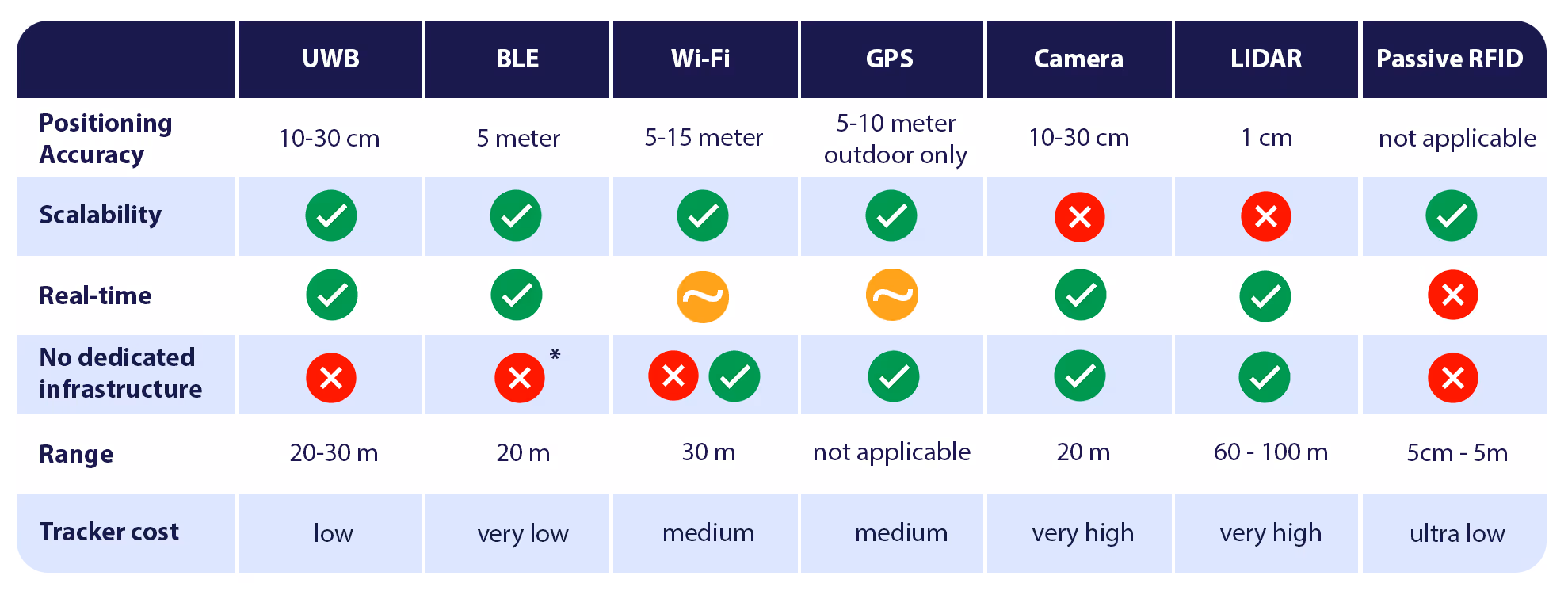
In this table, the orange circles indicate that for WiFi and GPS the location can be obtained real-time, but typically with a very low update rate (few times per hour or day). The asterisks for BLE infrastructure indicates that in certain scenarios (with WiFi access points that support BLE positioning), there is no need for additional infrastructure. However, this is not the case for most access points.
Interested in learning what accurate positioning can mean for your business? Schedule a call with one of our RTLS experts, they are ready to advise and inspire you with our use cases.
What our customers say
Written by
Melanie Deputter

Digital Marketing Officer at Pozyx